Street Art: Saint-Malo
 |
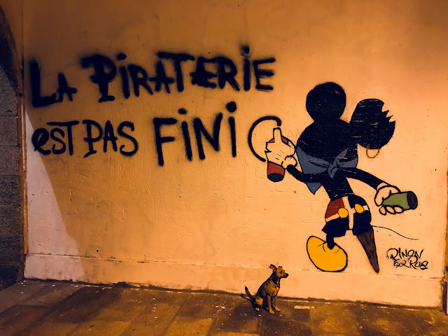
| "Piracy is not over," Saint-Malo, Bretagne. Note that not-Mickey's shorts represent the flag of Saint-Malo. |
Towns in coastal Bretagne take a certain amount of civic pride in their historical corsaires--privateers given license by the government to raid ships and coastal settlements of enemy nations. Unlike pirates (the French are always quick to point out), corsaires' conduct was regulated by the laws of the admiralty, and all booty was transferred to the crown, minus a piece of the action for the privateers. It must have been a great comfort to English and Spanish seafarers to know that they were attacked, boarded and robbed by honest mercenaries rather than common criminals.
French corsaires first got their license to steal from Louis XIV, but were given charters by every monarchy and republic until the practice was abolished in 1856 with the Treaty of Paris that ended the Crimean War. Saint-Malo produced one of the France's most celebrated corsaires, Robert Surcouf. Surouf served primarily on legal and illicit slave-trading ships from from age 13, rising through the officer ranks to command several ships that engaged in unsanctioned piracy, before receiving his lettre de marque (i.e., his permission slip) in 1798--some 11 years after he first went to sea.
Like many Breton settlements along strategic waterways, the historic town center of Saint-Malo was basically a walled fortification. This permitted Saint-Malo a fair degree of safety and autonomy for hundreds of years, discouraging and repelling numerous assaults until Allied forces besieged the Wehrmacht garrison manning this part of the "Atlantic Wall" in 1944--completely destroying the town center with combined artillery and aerial bombardment as a prelude to the final infantry and armored assault.
It took the next 15 years to rebuild the town, and the results are a seamless recreation of the medieval realm that protected and nurtured local Malouins since the 6th century. While there are no more pirates (if there ever were), there are plenty of crêperies and places to get shellfish and cider, and walks along the high ramparts provide beautiful views of La Manche (English Channel) at the mouth of the Rance river, the tidal island of Grand Bé just a few hundred meters from the walls, and the surrounding fortifications that jut out from the city beach.
 |
| From the Saint-Malo ramparts, with Fort National in the distance. |
 |
| Grand Bé, island phase, during high tide. |
 |
| Plage de l'Éventail at sunset. |
.jpeg)
 |
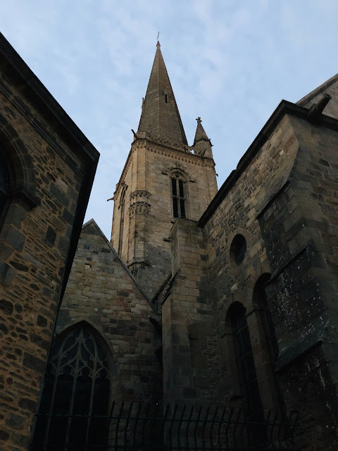
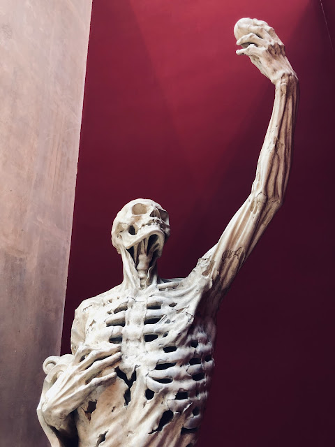
| Two views of Cathédrale Saint-Vincent, Saint-Malo. |


Comments
Post a Comment